|
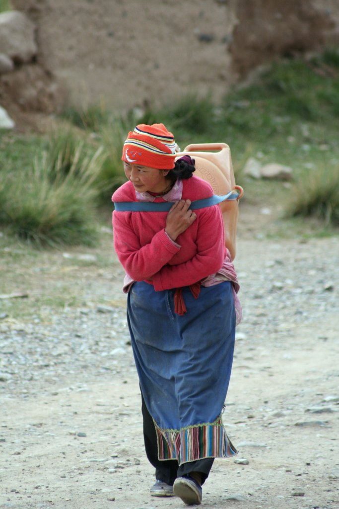 |
| She brought water from the tap outside the village | |
| Latitude: N 35°23'59,28" | Longitude: E 102°34'21,93" | Altitude: 2952 metres | Location: Zuohai | City: Ka'ernangcun | State/Province: Gansu Sheng | Country: China | Copyright: Ron Harkink | See map | |
| Total images: 28 | Help | |